| Direction |
Route |
Name |
Comment |
| Start |
75 |
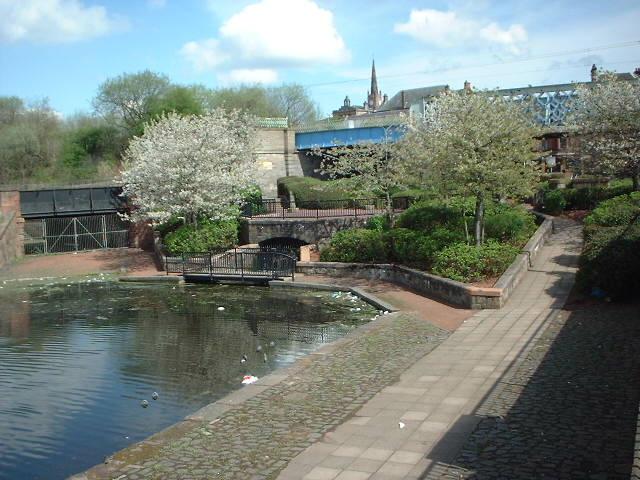
Coatbridge Fountain |
in Coatbridge |
| Head West |
75 |
Bank Street |
under railway bridge |
| Turn Right → |
75 |
Monkland Canal path |
cross Bank Street and join path along course of former canal |
| Turn Right → |
|
Car Park access |
at car park entrance after passing under road bridge |
| ← Turn Left |
|
King Street |
at end of road |
| Turn Right → |
|
Blair Road |
at end of road |
| ↑ Straight Ahead |
|
Lomond Road |
at Townhead Road roundabout |
| 4th Right → |
|
Wilton Street |
after tower block |
| ↑ Straight Ahead |
|
Gartgill Road |
continuation of road |
| ↖ Fork Left |
|
rough path alongside railway |
immediately before level crossing |
| Fork Right ↗ |
|
rough path to Glenboig |
where path splits left and right before railway bridge |
| Fork Right ↗ |
|
Carrick View |
at end of path |
| ↑ Straight Ahead |
|
Inchneuk Path |
at Main Street crossing |
| ↑ Straight Ahead |
Strathkelvin |
Strathkelvin Railway Path |
continuation of path |
| ← Turn Left |
|
Drumcavel Road |
at end of path |
| 1st Right → |
|
Avenuehead Road |
|
| ← 1st Left |
Strathkelvin |
Strathkelvin Railway Path |
at foot of hill |
| ↑ Straight Ahead |
Strathkelvin |
Strathkelvin Railway Path |
at Gartferry Road crossing |
| ↑ Straight Ahead |
Strathkelvin |
Strathkelvin Railway Path |
at Burnbrae Road crossing |
| Turn Right → |
Strathkelvin |
Strathkelvin Railway Path |
across Bothlin Burn bridge and follow continuing path alongside stream |
| ↑ Straight Ahead |
Strathkelvin |
Strathkelvin Railway Path |
at Initiative Road crossing (Option to use Woodilee Road to avoid steps) |
| ↑ Straight Ahead |
Strathkelvin |
Strathkelvin Railway Path |
up steps to car park |
| Turn Right → |
Strathkelvin |
Car Park access |
to exit car park |
| ↑ Straight Ahead |
Strathkelvin |
Strathkelvin Railway Path |
across Woodilee Road opposite car park access |
| Fork Right ↗ |
Strathkelvin |
Strathkelvin Railway Path |
at Y-junction in path |
| ↑ Straight Ahead |
|
Parkview Court |
at end of path |
| ↑ Straight Ahead |
|
Sports Centre Car Park |
and then turn left and fork right towards front of Sports Centre |
| ↖ Fork Left |
|
Woodhead Park |
path in front of Sports Centre |
| Fork Right ↗ |
|
Woodhead Park |
after tennis courts |
| Turn Right → |
|
Industry Street |
at end of path |
| ← Turn Left |
|
ramp down to Parliament Road |
before corner in road |
| ↑ Straight Ahead |
Strathkelvin |
Strathkelvin Railway Path |
cross Parliament Road to path opposite foot of ramp |
| Turn Right → |
Strathkelvin |
Strathkelvin Railway Path |
cross bridge over Luggie Water |
| ↖ Fork Left |
Strathkelvin |
Strathkelvin Railway Path |
at Skate Park |
| ↖ Fork Left |
Strathkelvin |
Strathkelvin Railway Path |
down to bridge across Luggie Water |
| Turn Right → |
Strathkelvin |
Strathkelvin Railway Path |
after bridge across Luggie Water |
| ← Turn Left |
Strathkelvin |
Strathkelvin Railway Path |
cross bridge across Luggie Water |
| Turn Right → |
Strathkelvin |
Peter D Stirling Road |
after bridge across Luggie Water |
| ↖ Fork Left |
Strathkelvin |
Strathkelvin Railway Path |
turn left at Hillhead Roundabout then immediately turn right to join path between shops |
| ↑ Straight Ahead |
755 |
Strathkelvin Railway Path |
cross Kilsyth Road and go up steps to path |
| ↑ Straight Ahead |
755 |
Strathkelvin Railway Path |
at Campsie Road crossing |
| ↖ Fork Left |
755 |
Strathkelvin Railway Path |
after crossing Glazert Water in Lennoxtown |
| ↖ Fork Left |
755 |
Strathkelvin Railway Path |
at Newbridge road crossing, path continues a little to the left on other side of road |
| ← Turn Left |
A891 |
Strathblane Road |
at end of path |
| Finish |
A81 |
Glasgow Road |
in Strathblane |
To head to Blanefield turn right at the mini-roundabout, onto the A81, or to head along the unofficial cycle routes to Mugdock and Milngavie or Balmore and Kirkintilloch turn left at the mini-roundabout, onto the A81, then first right into Dumbrock Road, first left into Old Mugdock Road and go up the hill.