Cycle Routes Ideas
Coatbridge - Strathclyde Country Park: direct via Bellshill
 Since this route leads to a park, it is not inappropriate that it should pass through a couple of other parks on the way. However, the majority of this route is made up of residential side streets, many of which already have "Twenty's Plenty" advisory speed limits. The work involved to create this cycle route consists mainly of redetermining and upgrading the footway alongside the A725 and B7070 in the Shawhead area, along with providing crossings of some sort for the main roads here. Some funding for footbridges may become available as part of an upgrade of the A8 to motorway status and this would be the best option for this cycle route. Otherwise some form of at-grade controlled crossing will be needed, since the existing pedestrians are meant to take their lives in their hands and just cross these busy roads when theres a gap!
 Starting in Coatbridge town centre this route follows the Sustrans route westwards for a short distance, including a section with a narrow footway, with a "Cyclists Dismount" sign advising cyclists not to try cycling. The road here happens to be quite wide, but no attempt has been made to widen the footway or to create a cycle track between the footway and roadway. There is also no attempt to link from the Monkland Canal, on the other side of the road, or to Heritage Way, across the other side of the canal, which leads in a fashion to the Strathkelvin Railway Path, along a series of paths and minor roads. However, for those in the know, it is possible to get between the Sustrans route and The Time Capsule using Buchanan Street. Its just a pity there are no signs.
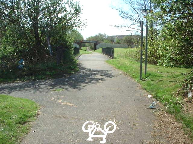
 Once across Dundyvan Road, the Sustrans route dives down a ramp to Dundyvan Road to take an alternative route, but this route carries straight on to pass under a railway bridge, then continues straight on, crossing Souterhouse Road. Although this path was once used by Sustrans, it is not properly surfaced, and nowhere is this more evident than where it crosses the next street, Doune Park Way.
 Doune Park Way is a recent small housing development with houses built to modern standards, but the path between it and the town centre, or in the other direction the park, has still not been properly finished! The development also treats the path as an unwelcome intruder, with high fencing dividing the roadway and the path. However, the path does cross the road at this point, so access is allowed. Once across this road, continue onwards to the park.
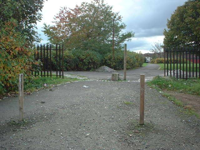
 Once in the park turn left then fork right to head up the hill towards Brownshill Avenue. The path through the park is surfaced, but could do with being relaid and widened. This section of the route is one of two sections of this route outwith Strathclyde Park itself that are not lit. The route exits the park onto Brownshill Avenue via a short lane. Turn left onto Brownshill Avenue, then immediately right Craig Street.
 The junction of Brownshill Avenue and Craig Street is stopped up, with a strip of footway and bollards dividing the two. It would be a simple matter to permit cycling through this. Both streets are part of a "Twenty's Plenty" advisory speed limit zone, common in this area. Turn right at the foot of Craig Street into Ailsa Road, then fork left at the bend onto a path through to Old Monkland Road.
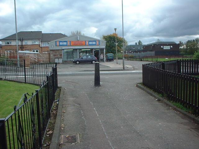
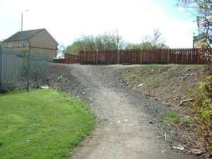
 The path from Ailsa Road meets Old Monkland Road opposite the shop, where a Toucan Crossing could be provided, which would also be of use to school children going to school. The short road next to the shop leads to a community centre, the school, and the next section of path, which passes alongside and between some football pitches.
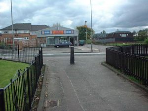
 Once across Old Monkland Road, the route takes a short roadway used as a car park, then turns left onto a path alongside some pitches, then turns right to pass between the pitches. This path is not itself lit, but will benefit from the floodlighting for the pitches when this is in use. This path ends up on Palacecraig Street, a short road leading to a small industrial estate, as well as the school. Palacecraig Street leads down to Kirkshaws Road. From this point the route changes in character, as it begins to negotiate the Shawhead road junction.
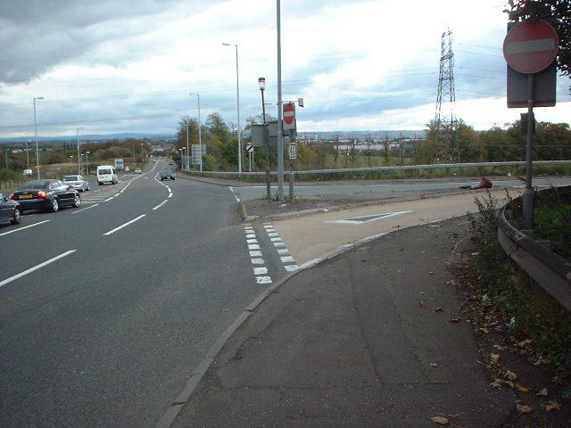
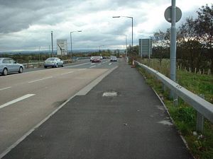 Once at Kirkshaws Road, the cycle route would be best to cross over to the southern footway, since this connects directly with the eastern footway of the A725 through Shawhead. An alternative would be to provide a footbridge (which could be built to accommodate cycling) across the A8 quasi-motorway, near the Boots factory. This would remove the need to use the footways here, including a section where a temporary barrier narrows the footway, and would remove the need to cross the A725 to A8 southwestern sliproad.
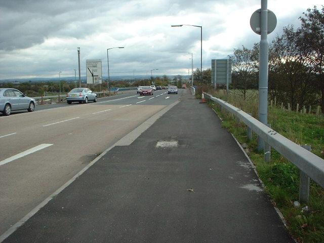
 Without a footbridge, it is necessary to cross the two-way sliproad between the A725 and A8. However, this is not impossible, and pedestrians already make this crossing, along with any cyclist currently riding illegally on the footway here, preferring not to cycle on the A725 roadway, where cyclists have to cycle in the third lane of an extremely busy five lane two-way road in order to get to the B7070 to Bellshill.
 The most difficult crossing is that of the busy northbound A725 carriageway, where no help is currently offered to pedestrians. A footbridge could be built across the road, spanning between the embankment on the western side of the road and the B7070 embankment at the northern end of its bridge across the southbound carriageway of the A725. Otherwise a pedestrian crossing could be provided across this single but very busy lane. Once across, the route continues southwards alongside B7070 North Road, into Bellshill.
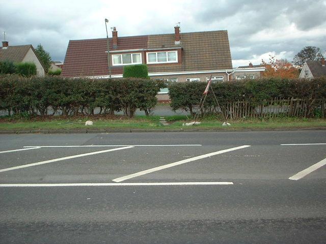
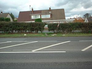
 The footway continues alongside the road, where a traffic-calming scheme has been built, consisting of traffic islands and chicanes. However, the volume of traffic on this road is still high, and is far from ideal for cycling on, especially with the road narrowings. Here the main roads are left behind and the cycle route reverts to quiet residential side streets, but first the B7070 has to be crossed.
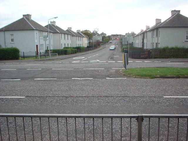
 The most obvious place to cross the B7070 is just to the south of the Caldwell Grove junction, where there is an existing path linking to Rosegreen Crescent. Here the road is wide enough for a central island to be provided, as well as a proper Toucan Crossing. From here on, the route uses quiet roads to Strathclyde Park, starting with Rosegreen Crescent. This road leads into Merlin Avenue, followed by Hattonrigg Road, passing through the area of this name. Hattonrigg Road ends up at an underpass which leads both to a school and to Bellshill town centre.
 This underpass connects Hattonrigg Road to Emma Jay Street in Bellshill town centre. The route turns left onto Main Street, then first right onto Thorn Road. Since the town centre is bypassed by Campbell Street, Main Street is not so busy, and thus is quite suitable for cycling on.
 From Main Street, it is back onto residential side roads, starting with Thorn Road. A right turn after the railway bridge, followed by a left into Thorndean Avenue and a right into Roman Drive gets as far as Motherwell Road. Here there is a pedestrian crossing across the main dual-carriageway, plus a side road in front of the shops for local traffic. A path connects the two in the vacinity of the crossing.
 On the far side of Motherwell Road and its pedestrian crossing, Glenmore Avenue continues the route towards Strathclyde Park. Glenmore Avenue is part of another "Twenty's Plenty" advisory speed limit zone. A left turn into Cairnlea Gardens connects through to Orbiston Road, the track that runs alongside Community Road.
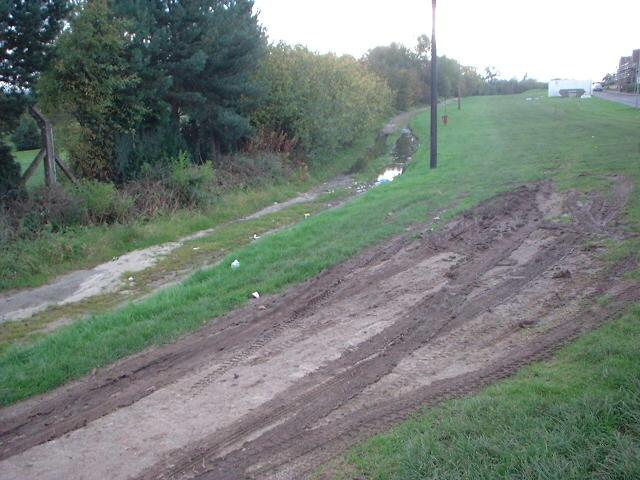
 Orbiston Road is a disgrace and needs resurfaced as well as properly drained. It could be rebuilt as a path, with bollards preventing motor vehicles going any further than the car park at the start of the road. Once on this track, it is a simple matter of a left turn to enter Strathclyde Park. A largely motor-traffic-free route already exists from the park gate in Orbiston Road down to the waterside of Strathclyde Loch, passing a golf course, a play area, some woods, and then crossing the restricted road within the park. There is a well-used network of paths within the park, including the path around the loch, as well as plans for a cycle route to the park from Uddingston and Hamilton. There are also paths linking to Motherwell, and to Chatelherault Country Park via the Avon Walkway.

You've now arrived in Strathclyde Park!