
| [ | Home | | | Facilities | | | Routes | | | Ideas | | | Precincts | | | Transport | | | Signs | | | Commentary | | | Videos | | | Links | ] |
There are various ways of cycling from Coatbridge to Glasgow. Sustrans has come up with a meandering route between the two places that manages to take in Uddingston and Westburn. There is also the main road, the A89, but this is quite busy, although there is a choice of using the wider A8 Edinburgh Road west of Baillieston Interchange.
This website deals with two routes. This page describes an interesting route from Coatbridge Town Centre through Drumpellier Country Park, Easterhouse, Queenslie and Cranhill to Dennistoun. From Dennistoun there is a choice of joining Alexandra Parade, crossing to the north side of the M8 motorway to join the Glasgow City Council Cumbernauld to Glasgow cycle route, or going south to Glasgow Green through Bridgeton which is described in the unofficial cycle route from Springburn, through Dennistoun and Polmadie to Toryglen. There is also the unofficial cycle route from Coatbridge to Baillieston that heads through western Coatbridge and leaves the Sustrans route at Kirkwood, before heading to Baillieston and Barachnie Cross on the in-town section of the A89.
| Direction | Route | Name | Comment |
|---|---|---|---|
| Start | 75 | Coatbridge Fountain | in Coatbridge |
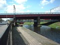
| Head West | 75 | Bank Street | under railway bridge |
| Turn Right → | 75 | Monkland Canal path | cross Bank Street and join path along course of former canal |
| ↑ Straight Ahead | 75 | Monkland Canal path | continue along section of canal that still exists |
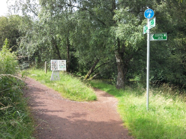
| ↖ Fork Left | ramp up to bridge | signposted for Drumpellier Country Park | |
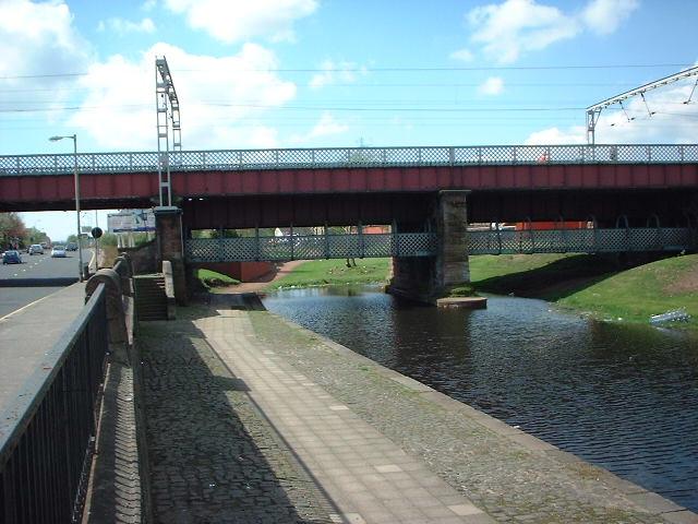
| Turn Right → | bridge over canal | cross bridge | |
| ← 1st Left | path alongside railway | ||
| 1st Right → | bridge over railway | cross bridge | |
| ↑ Straight Ahead | path into Drumpellier Country Park | through gate | |
| ↖ Fork Left | road through Drumpellier Country Park | continue through gate ahead | |
| ← Turn Left | Townhead Road | at exit from Drumpellier Country Park | |
| Turn Right → | A752 | Gartcosh Road | at end of road |
| ← 1st Left | Lochend Road | ||
| Turn Right → | Westerhouse Road | at end of road | |
| Turn Right → | path alongside M8 motorway | just after motorway bridge and Wellhouse Road junction | |
| ← Turn Left | path to Penston Road | at T-junction in path | |
| Turn Right → | Penston Road | at end of path | |
| Turn Right → | Blairtummock Road | at end of road | |
| ↑ Straight Ahead | Bellrock Street | at Stepps Road traffic signals | |
| ← 5th Left | Startpoint Street | after Cranhill Park, to avoid hill | |
| ← Turn Left | Loretto Street | at end of road | |
| ← 2nd Left | Ruchazie Road | at crossroads | |
| 1st Right → | Warriston Street | ||
| ↑ Straight Ahead | Dee Street | at Cumbernauld Road crossing | |
| ← 1st Left | Gadie Street | across old railway bridge | |
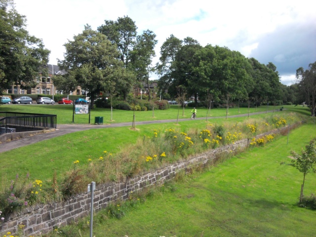
| ↑ Straight Ahead | Alexandra Park | at Provan Road crossing | |
| Turn Right → | Alexandra Park | at junction near fountain | |
| ↖ Fork Left | Alexandra Park | at Parks Department depot | |
| ← Turn Left | Sannox Gardens | at park exit | |
| 1st Right → | Coventry Drive | ||
| ↑ Straight Ahead | Harcourt Drive | straight across footway at Alexandra Park Street traffic signals | |
| Fork Right ↗ | Alexandra Court | and straight through road closure | |
| ↑ Straight Ahead | Armadale Path | and turn right and left to go around front of building to avoid steps | |
| ← Turn Left | Armadale Court | ||
| Turn Right → | Townmill Road | at corner in road | |
| Turn Right → | footbridge over M8 motorway | at end of road (Option to join Alexandra Parade at this point) | |
| ← Turn Left | path to James Nisbet Street | ||
| Turn Right → | James Nisbet Street | street is one-way | |
| ← Turn Left | Roystonhill | at end of road | |
| ↖ Fork Left | Townhead Interchange path network | leave road at bend, go down ramp and turn left through underpass, then continue onwards | |
| Turn Right → | footbridge over Stirling Road | at T-junction in bridge | |
| ← Turn Left | McAslin Street | at end of path | |
| ← Turn Left | St Mungo Avenue | at end of road | |
| ← Turn Left | Colleges | path to North Hanover Street | opposite Buchanan Bus Station |
| Finish | Colleges | North Hanover Street | in Glasgow |
Turn left for George Square, or turn right then cross North Hanover Street to join Cowcaddens Road and the Glasgow City Council Colleges Cycle Route via Port Dundas Road to the West End and Jordanhill.
| [ | Home | | | Facilities | | | Routes | | | Ideas | | | Precincts | | | Transport | | | Signs | | | Commentary | | | Videos | | | Links | ] |